


Walking itinerary : Les Grands Bois
Schwierigkeitsgrad: T1


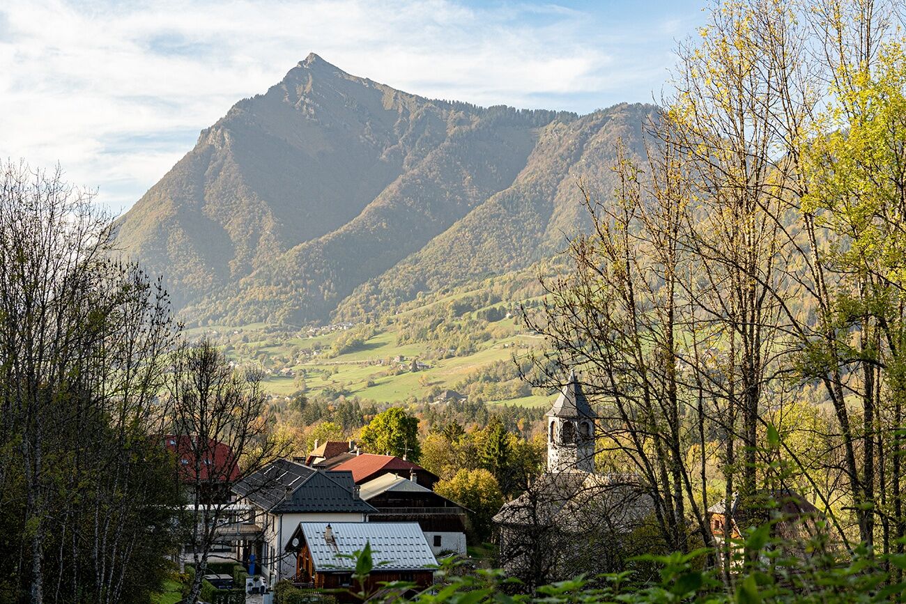
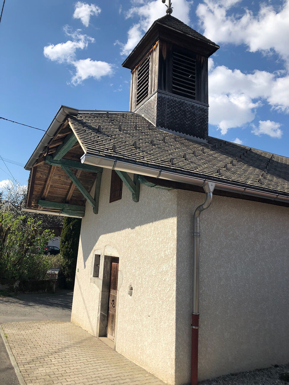
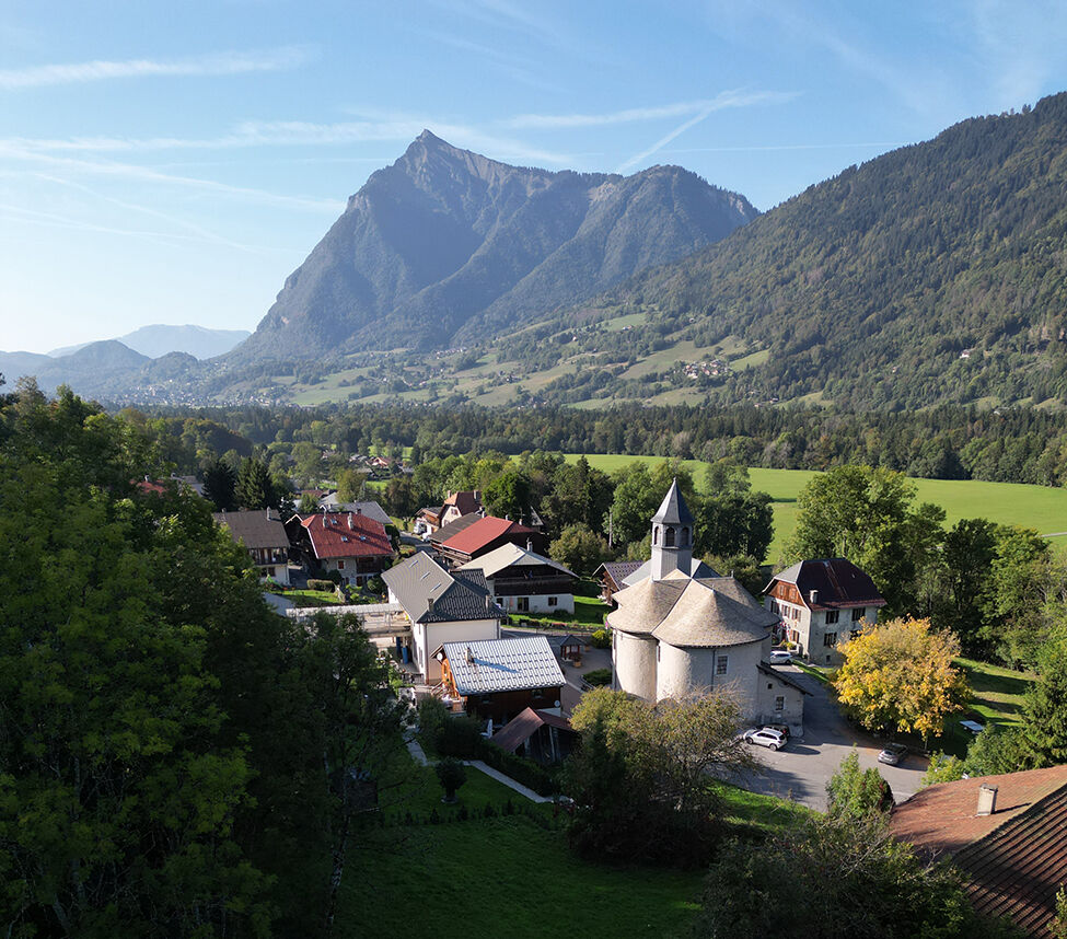
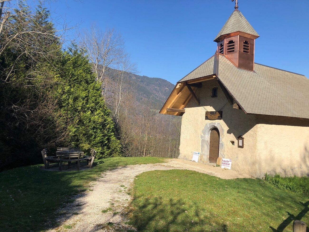
Depart from the main town of La Rivière Enverse. From the corner of the school, follow the signs for Nicodex. The path rises to the eponymous chapel. Then follow the signs for Fargot d'en haut, where you turn right to reach Cellières. At the signpost turn right (signposted Fargot), pass the recently restored chapel, then continue and cross the RD4 at Fargot (take care when crossing the road). Follow the path to Rivière Enverse along the banks of the Giffre, skirting the gravel pit and continuing along the path alongside the Giffre. At the Vernay de Brochère crossroads, turn right onto the wide carriage road that leads back to the church via Les Places.
Ja
En cas d'urgence, composez le 112
Pensez au covoiturage
Parking à proximité du point de départ
T1
Beliebte Touren in der Nähe
Aiguille du Criou
schwerWanderung16,7 kmTour la Dranse de Morzine
leichtWanderung7,05 kmCONTEMPORARY ART of the Giffre // «ART and NATURE» trail
leichtThemenweg7,49 kmWalking itinerary: Pointe d'Orchez
mittelWanderung4,52 km- 4,3
Goldtoni - Alpenbogen A059 Refuge de Chardonniere-Refuge Anterne
mittelFernwanderweg33,8 km Snowshoe itinerary: La Bourgeoise from the chalet at Joux Plane
leichtSchneeschuh4,49 kmWalking itinerary: Pointe de Sales
schwerWanderung2,87 km- 4,0
Hiking trail: Refuge de Grenairon
schwerWanderung12,6 km Road from Châtillon-sur-Cluses to Cluses
leichtWanderung4,96 kmRando'bus Morillon 1100 Les Esserts - Morillon village par la Pointe de Cupoire
schwerWanderung19,7 km
Wandern & Tracking


Verpasse keine Angebote und Inspirationen für deinen nächsten Urlaub
Deine E-Mail-Adresse wurde in den Verteiler eingetragen.